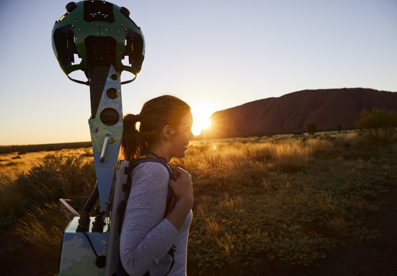
Uluru now on Google Maps Street View

Millions of people around the world can now experience the magic and wonder of Uluru via Google Street View.
For the first time, travellers can experience a full vista of Uluru, Australia's greatest natural icon, in 360-degrees on their desktop computer, tablet or smartphone.
The Street View experience takes viewers through Talinguru Nyakunytjaku, the Kuniya Walk, the Kapi Mutitjulu waterhole and the ancient rock art at Kulpi Mutitjulu (Family Cave).
In order to adequately tell the cultural and spiritual story of the 348-metre high ancient rock, Google used the Story Spheres platform to add immersive audio stories and songs of Anangu traditional owners to its Uluru Street View imagery.
The result is an interactive, audio-visual guided tour, narrated by Sammy Wilson and with song and music by traditional owner and Anangu Elder, Reggie Uluru.
The project took two years to complete, through collaboration with the traditional owners of Uluru-Kata Tjuta National Park, the Anangu people, along with Parks Australia and the Northern Territory Government.
Using Google’s cutting edge Street View technology is a new and innovative way Tourism NT is promoting the Northern Territory to the rest of the world.
The imagery will allow tourists around the world to take a virtual trip to the Territory online and better plan a future holiday here.
Jason Pellegrino, Managing Director, Google Australia & New Zealand said the company was honoured to partner with the Northern Territory to bring the unique stories and rich cultural history of the Anangu and Uluru-Kata Tjuta National Park to the world.
"We hope this launch will inspire even more people around the world to experience this extraordinary site, and to learn more about the Anangu connection with the land," he said.
Google Trekker footage allows viewers to go on a personalised virtual trek with the viewer deciding which path to take and which direction to look.
View Uluru on Google Street View here.
Watch a video about the project below.
